

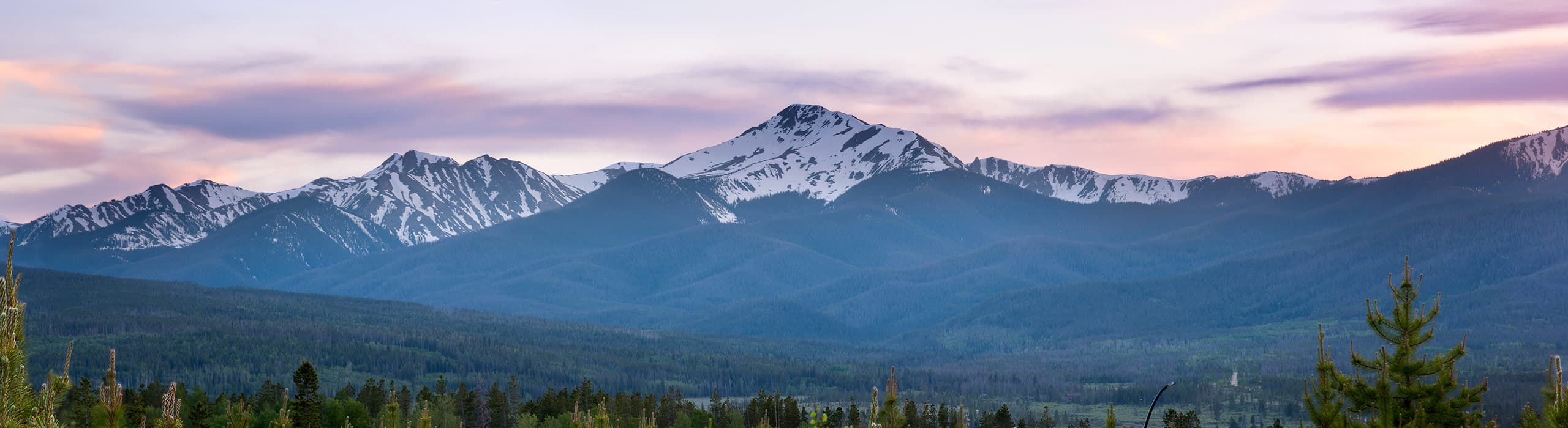
After a quiet stretch, the weather pattern is turning stormy. A warm, wet start to this week gives way to colder snow this weekend, and the long-range models point to a bigger storm and real winter cold around Halloween. Here's what the forecast means for snowmaking and opening day at Winter Park.
Forecast as of October 21, 2026
Mountain forecasts change daily, especially more than a week out. We'll keep an eye on things, and you can check the latest anytime on our live snow forecast page.
This week: rain first, then snow
OpenSnow founding meteorologist Joel Gratz describes this week's storm in two parts. From Wednesday through Friday, the first part is warm. Snow levels sit around 11,000 to 12,000 feet, so only the highest peaks see snow and everything below gets rain. At Winter Park, that means rain at the base (about 9,000 feet) and maybe a little snow near the 12,060-foot summit. It's also too warm for the snow guns.
The second part, Saturday through Monday, is colder. Snow levels drop to about 10,000 feet or lower, which means snow on most of the mountain. Gratz expects 1 to 5 inches for most central and northern ski areas, with a chance of more. The southern mountains are the big winners this round, with up to a foot or more at the highest elevations. More importantly for Winter Park, overnight lows drop into the upper 20s from Saturday on, so snowmaking crews can get back to work.
Next week: a stormy pattern and a Halloween storm
From October 26 to 30, expect a mix of snow showers, dry days and cool temperatures. Gratz rates snowmaking conditions as marginal to favorable through the end of the month, and in his October 19 outlook he expected decent snowmaking in the final week of October that carries into November.
Then another storm is likely around Halloween. For October 31 through November 4, OpenSnow's Winter Park forecast currently shows about 8 inches of snow, with highs around 30°F and overnight lows in the low 20s. Natural snow on top of steady snowmaking is exactly how the base gets built.
Gratz's bottom line is upbeat: moisture, some snow and several storms in the forecast, a big change from last season's slow start.
Winter Park's 10-day outlook
Temperatures are for OpenSnow's forecast point at 11,020 feet, as of October 21. Snowmaking generally needs nights in the mid-20s or colder.
| Dates | Highs / lows | What to expect |
|---|---|---|
| Wed, Oct 21 – Fri, Oct 23 | 46–48° / 32–38° | Warm with rain showers. Snowmaking on pause. |
| Sat, Oct 24 – Mon, Oct 26 | 34–37° / 26–29° | Snow Colder storm. A couple of inches up high, and cold enough nights for snowmaking. |
| Tue, Oct 27 – Fri, Oct 30 | 36–38° / 26–27° | Mixed: some snow showers, some dry days. |
| Sat, Oct 31 – Wed, Nov 4 | 29–33° / 21–23° | Snow Likely storm around Halloween and the coldest stretch of the season so far. |
What it means for opening day
Winter Park started making snow in mid-October, and this week's warm spell slows things down. The cold nights that return this weekend, and the deeper cold forecast for early November, should give crews long stretches to run the guns. In his October 19 outlook, Gratz expected the first lifts in Colorado, at Arapahoe Basin, Copper, Keystone and Loveland, to possibly start spinning by early November if the forecast holds.
Our take: We still think an October 30 opening is a long shot for Winter Park. The forecast fits our best guess of the first few days of November, and a strong Halloween storm would help. Winter Park hasn't announced an official date yet.
For more on the resort's new snow guns, see Winter Park Fires Up Its Snow Guns, and for six seasons of past opening dates, see When Does Winter Park Resort Open?
The bigger picture: an El Niño winter
A strong El Niño is building this fall, and NOAA's winter outlook leans wetter than average for much of Colorado, especially the southern part of the state, with temperatures a toss-up.
Gratz points out a useful pattern from past El Niño winters in Colorado. They tended to start strong in October and November, ease off in December and January, then ramp back up from late February into March. So far, this fall's stormy second half of October is following that script. He also notes El Niño storms can run on the warm side, which is what we're seeing with this week's rain.
That's encouraging, but it isn't a guarantee. OnTheSnow's look at similar past winters found above-normal snow along the Front Range in only 3 of 7 of them. The season will be decided storm by storm.
Planning tip: If the El Niño pattern holds, early season and late February through March could be the sweet spots for snow this winter. March is a great time for a spring ski trip to Winter Park.
Meet the forecaster: Joel Gratz is giving a talk in Winter Park on Saturday, November 14 (location to be announced). Check OpenSnow's Colorado Daily Snow for details.
Plan your early-season trip
- Watch the snow, then bookOpening dates are usually announced only a week or two ahead. Keep an eye on our snow forecast page.
- Book a flexible stayOur homes come with a full refund if you cancel 30 or more days before check-in.
- Pack for winterEarly November nights in the low 20s mean you'll want real winter layers, and possibly chains or snow tires for Berthoud Pass.
- Think beyond opening weekendMid-November through early December is quieter and better value than the holidays, with more terrain opening each week.
Be here when the snow flies
Stay Vara manages homes and condos across Winter Park, Fraser, Tabernash and Granby. Book direct for the best rates.
Browse our homesSources
- OpenSnow Colorado Daily Snow: A lot of rain, then some snow (Joel Gratz, Oct 21, 2026)
- OpenSnow Colorado Daily Snow: In the mix (Joel Gratz, Oct 19, 2026)
- OpenSnow: Winter Park snow forecast (accessed Oct 21, 2026)
- National Weather Service: Winter Park forecast
- 9News: NOAA winter outlook and what it means for Colorado
- SnowBrains: NOAA winter outlook 2026–27
- OnTheSnow: 2026–27 long-range winter forecast